Geophysical Survey
Seismic data acquisition, processing and interpretation for the construction of the Punta Carretas port
About the project
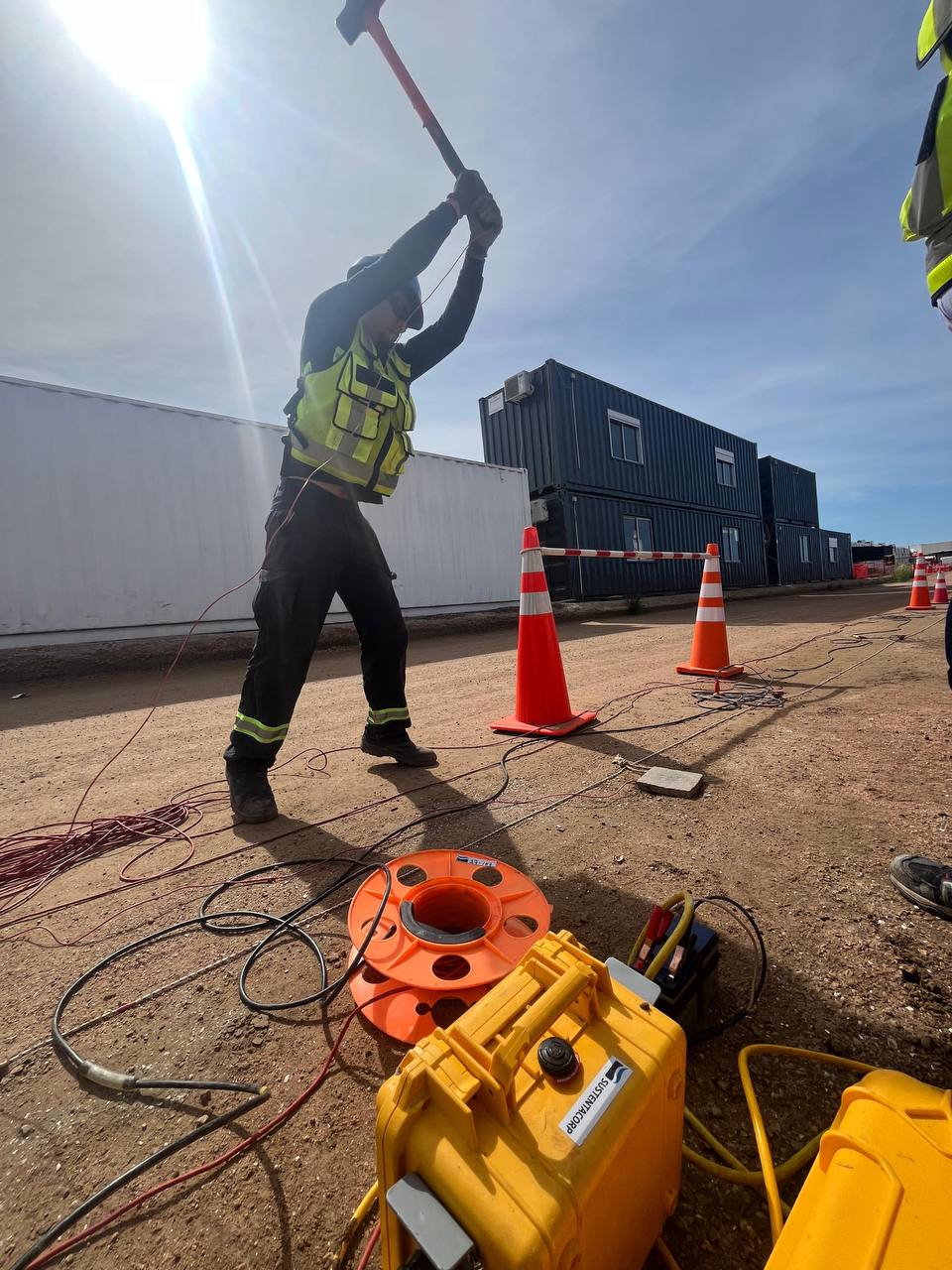
Acquisition, data processing and interpretation of geophysical and geological data for the area affected by the Punta Carretas port. Bathymetric survey accompanying the seismic acquisition. Carried out with sub-bottom profiler, echosounder and positioning system.
Acquisition, data processing and interpretation of geophysical and geological data for the area affected by the Punta Carretas port. Bathymetric survey accompanying the seismic acquisition. Carried out with sub-bottom profiler, echosounder and positioning system.